| Name | Spiaggia di Tordigliano | |
| Location | Tordigliano/Chiosse, Vico Equense, Napoli, Campania, Italy | |
| GPS | 40.6190N, 14.4504E A far west end of main beach Map It | |
| 40.6193N, 14.4521E B midpoint of main beach Map It | ||
| 40.6195N, 14.4553E C small beach with shanty-like boat shelters where trail lands Map It | ||
| 40.6198N, 14.4567E D small beach east of boat beach Map It | ||
| 40.6195N, 14.4582E E tiny beach farther east, not accessible on foot Map It | ||
| The five locations above are listed from west to east. Nudity patterns at Spiaggia di Tordigliano are irregular, and nudity is probably best avoided along most of the main beach during peak season when there are lots of textiles. Locations A, D and E offer the best potential for nude bathing. | ||
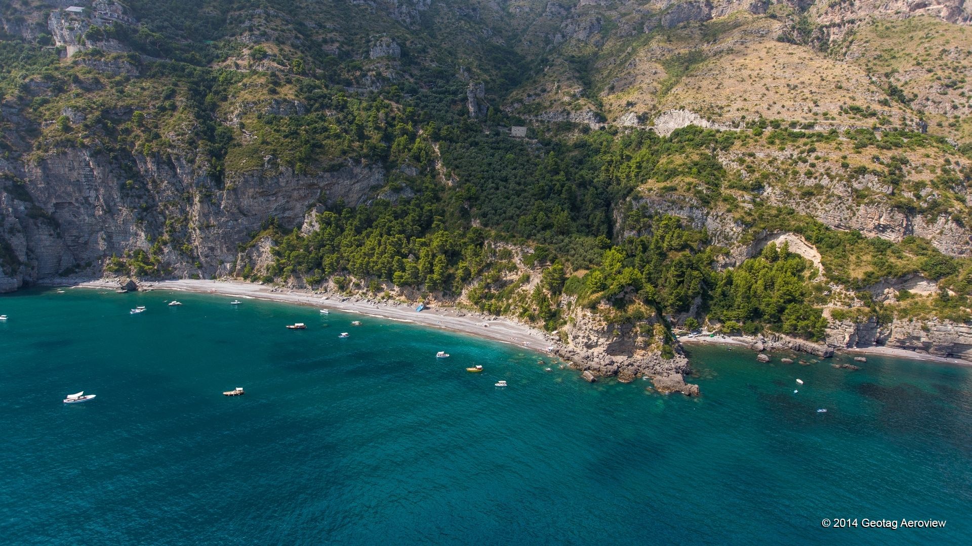
.jpg) (1)from left to right along left half of photo, A, B, C, D and E (with E not actually visible) |
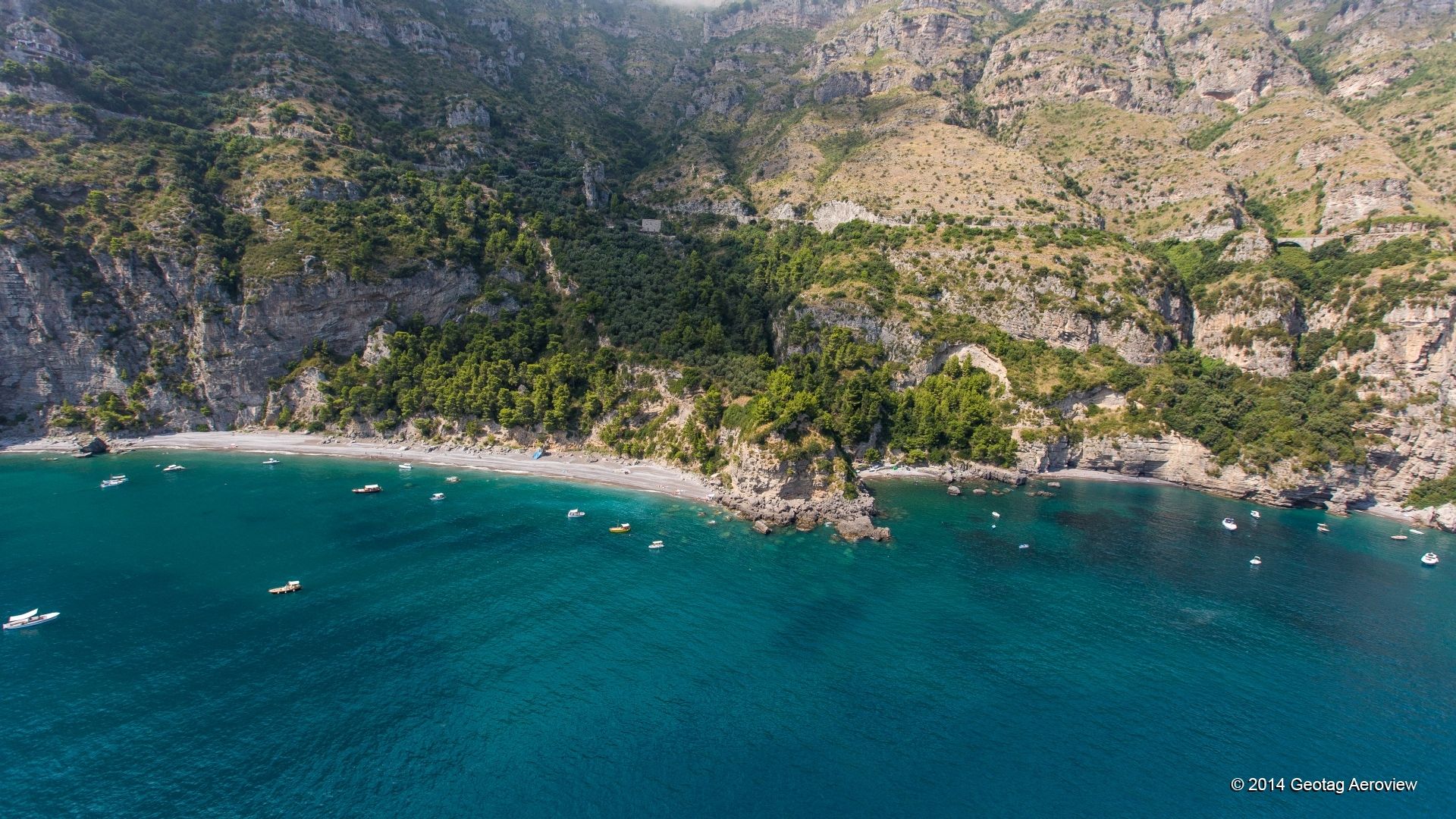 Afar west end of main beach →Etiny beach farther east, not accessible on foot ) |
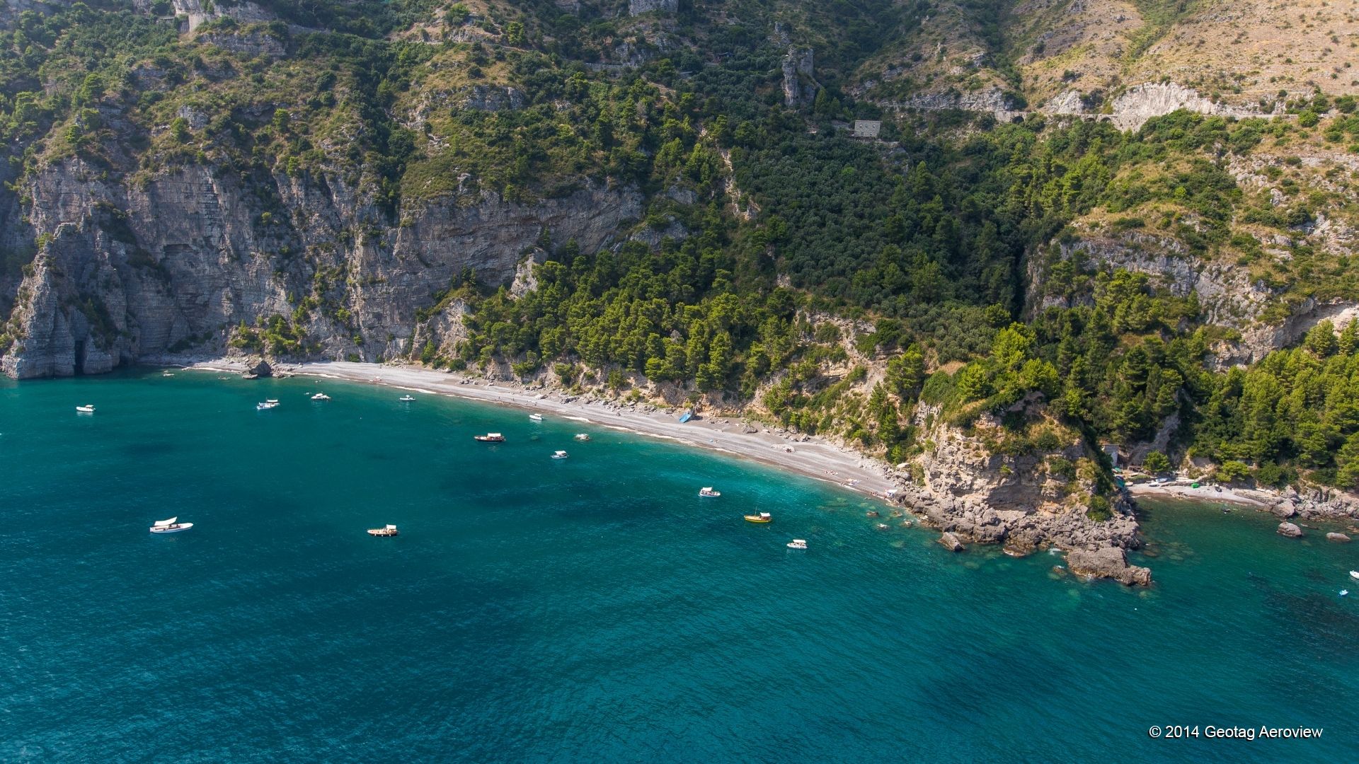 Afar west end of main beach →Csmall beach with shanty-like boat shelters where trail lands ) |
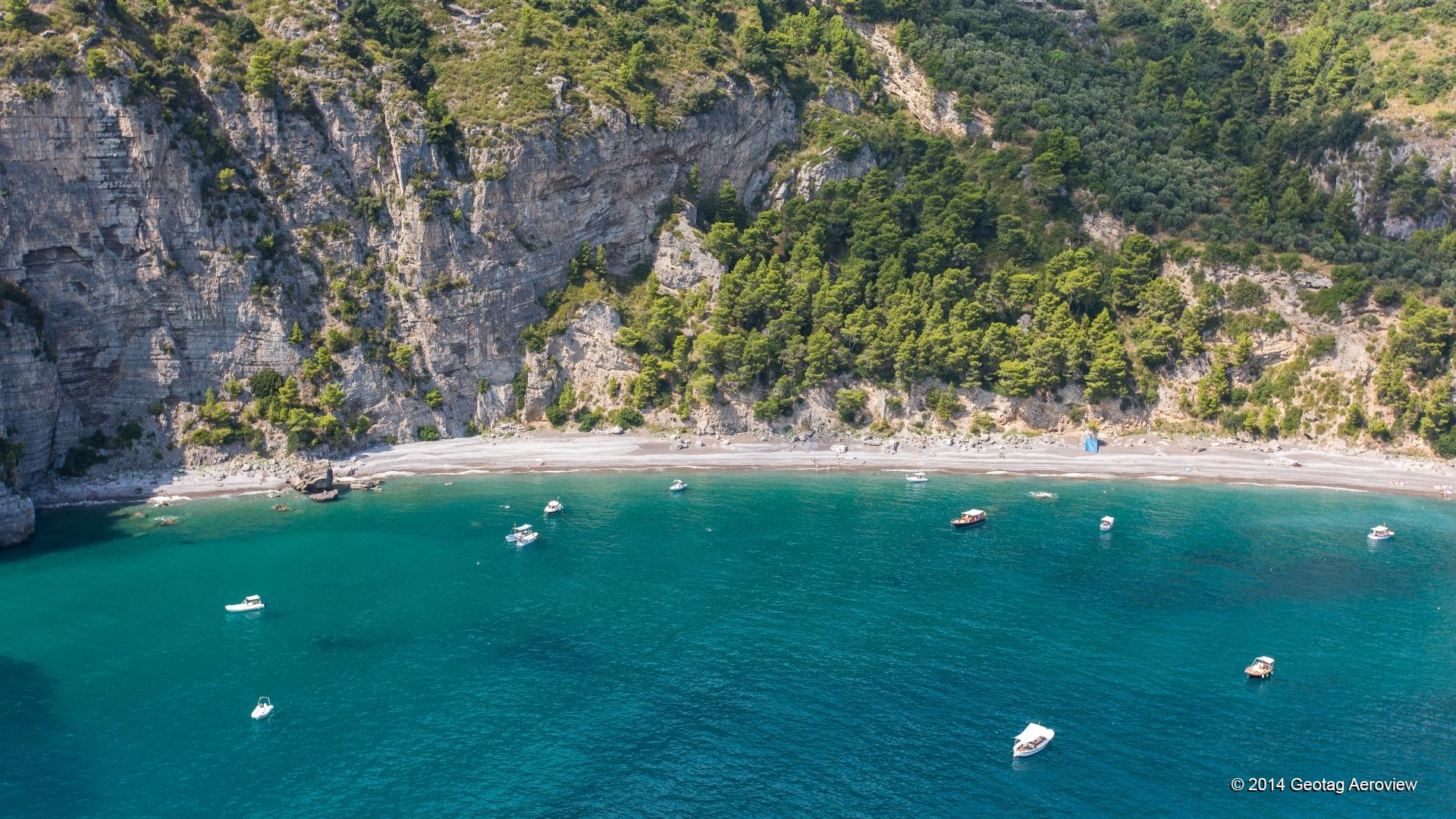 Afar west end of main beach →Bmidpoint of main beach ) |
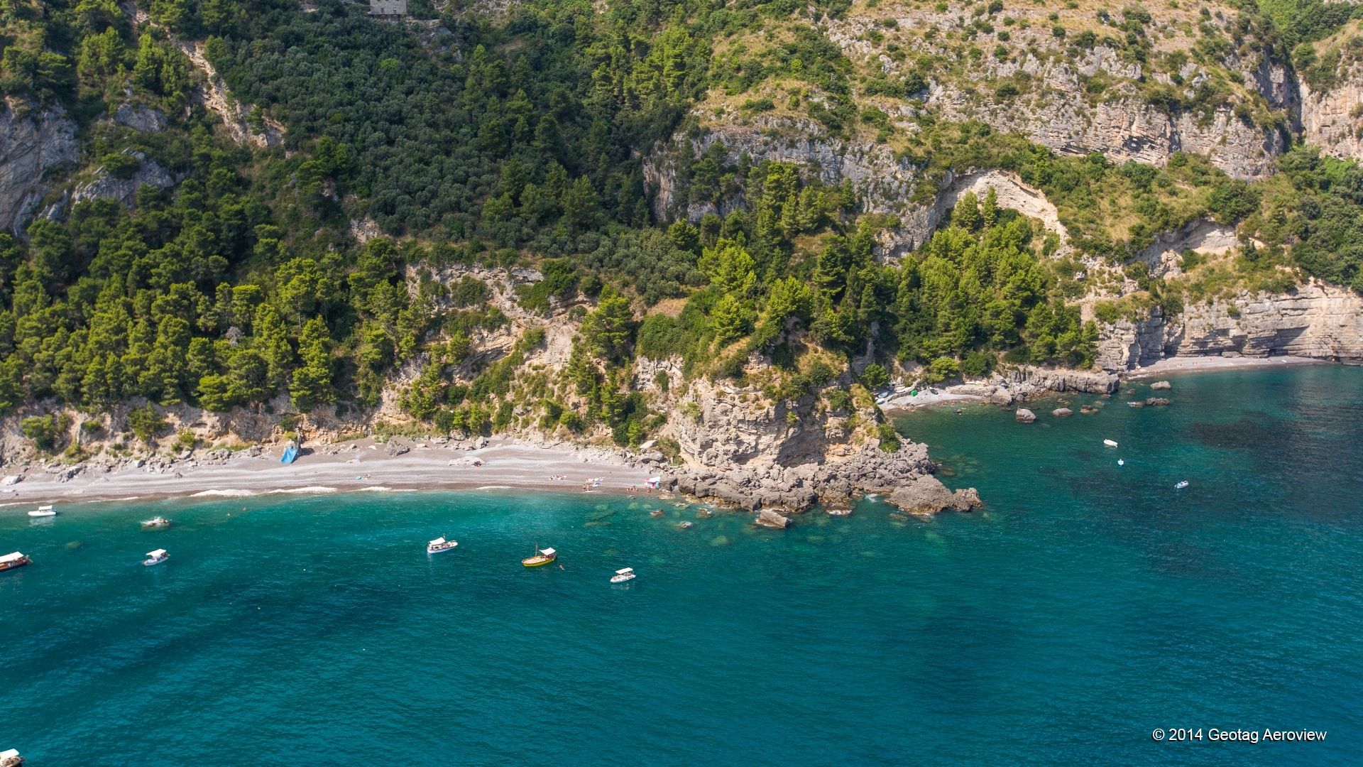 Bmidpoint of main beach →Dsmall beach east of boat beach ) |
 Afar west end of main beach →Dsmall beach east of boat beach ) |
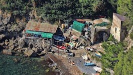 (C)small beach with shanty-like boat shelters where trail lands |
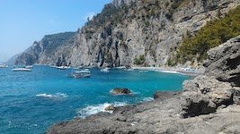 Afar west end of main beach →Bmidpoint of main beach ) |
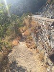 (2)start of path to beach |
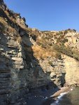 (D)small beach east of boat beach |
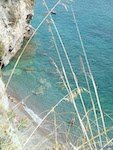 (D)small beach east of boat beach |
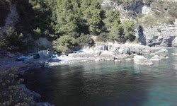 Csmall beach with shanty-like boat shelters where trail lands →Dsmall beach east of boat beach ) |
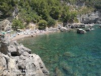 Csmall beach with shanty-like boat shelters where trail lands →Dsmall beach east of boat beach ) |
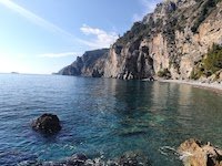 Afar west end of main beach →Bmidpoint of main beach ) |
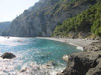 Afar west end of main beach →Bmidpoint of main beach ) |
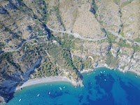 Afar west end of main beach →Etiny beach farther east, not accessible on foot ) |
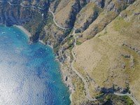 Afar west end of main beach →Etiny beach farther east, not accessible on foot ) |
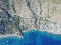 Bmidpoint of main beach →Etiny beach farther east, not accessible on foot ) |
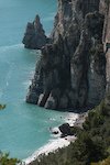 (A)far west end of main beach |
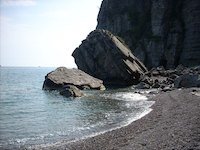 (A)far west end of main beach |
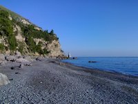 (B)midpoint of main beach |
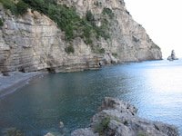 (D)small beach east of boat beach |
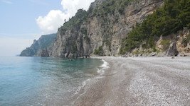 Afar west end of main beach →Bmidpoint of main beach ) |
|
(1) from left to right along left half of photo, A, B, C, D and E (with E not actually visible) (2) start of path to beach | |||
|
Invalid or out-of-date link? Please let us know. Reference the name and location of the beach so we can check the photo page for errors.
Can't view a Flickr photo because you aren't signed in? Click here for advice. Have a photo to suggest? Click here for guidelines. Top of Page [ ↑ ] |