| Name | Kosirina - Čigrađa | ||
| Location | Betina (Murter Island), Šibenik-Knin, Croatia | ||
| GPS | 43.7971N, 15.6096E Kosirina, main beach (textile) | 43.7979N, 15.5977E second bay (irregular FKK use) | |
| 43.7940N, 15.6057E Kosirina, west beach (usually all textile) | 43.8023N, 15.5934E third bay (irregular FKK use) | ||
| 43.7928N, 15.6056E rocky peninsula (irregular FKK use) | 43.8072N, 15.5904E Čigrađa Beach (textile) | ||
| 43.7963N, 15.6021E first bay (irregular FKK use) | |||
| The seven locations named above are listed in geographic sequence, staring at Kosirina and moving in a generally northwesterly direction toward Čigrađa. Following the contours of the coastline, these seven locations span roughly 3.5 kilometers. | |||
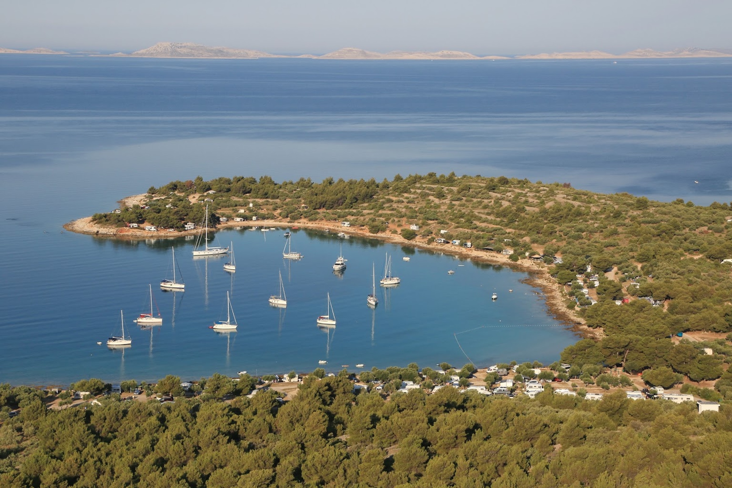 (1)Kosirina Camping occupies the semicircular bay, and most of the bay is de facto textile. FKK use becomes common (albeit irregular) going westward onto the peninsula (which extends toward the far left side of the photo). Irregular FKK use continues along the other side of the peninsula (not visible in the photo) then across the three bays along the way to Čigrađa (which are farther right, beyond the scope of the photo). Kosirina ↔ rocky peninsula |
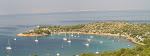 (1)Kosirina Camping occupies the semicircular bay, and most of the bay is de facto textile. FKK use becomes common (albeit irregular) going westward onto the peninsula (which extends toward the far left side of the photo). Irregular FKK use continues along the other side of the peninsula (not visible in the photo) then across the three bays along the way to Čigrađa (which are farther right, beyond the scope of the photo). Kosirina ↔ rocky peninsula |
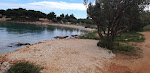 Kosirina, west beach |
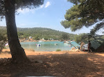 Kosirina, west beach |
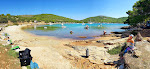 Kosirina, west beach |
 rocky peninsula |
 rocky peninsula |
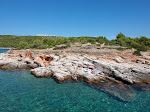 rocky peninsula |
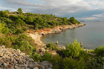 first bay |
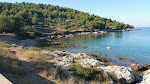 first bay |
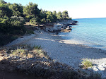 first bay |
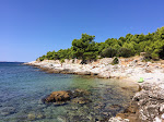 first bay |
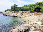 first bay |
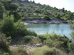 second bay |
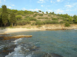 second bay |
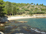 second bay |
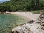 second bay |
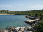 third bay |
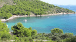 third bay |
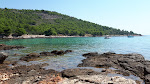 third bay |
(1) Kosirina Camping occupies the semicircular bay, and most of the bay is de facto textile. FKK use becomes common (albeit irregular) going westward onto the peninsula (which extends toward the far left side of the photo). Irregular FKK use continues along the other side of the peninsula (not visible in the photo) then across the three bays along the way to Čigrađa (which are farther right, beyond the scope of the photo). | |||
rocky peninsula
third bay
|
Invalid or out-of-date link? Please let us know. Reference the name and location of the beach so we can check the photo page for errors.
Can't view a Flickr photo because you aren't signed in? Click here for advice. Have a photo to suggest? Click here for guidelines. Top of Page [ ↑ ] |