| Name | Nordstrand | ||
| Location | Zingst & Prerow, Nordvorpommern, Mecklenburg-Vorpommern, Germany | ||
| GPS | 54.4410N, 12.7798E access 1 | 54.4432N, 12.6548E access 30 | |
| 54.4420N, 12.7457E access 5 | 54.4469N, 12.6328E access 33 | ||
| 54.4420N, 12.7265E access 9 | 54.4516N, 12.5899E access 39 | ||
| 54.4424N, 12.7126E access 13 | 54.4523N, 12.5814E access 41 | ||
| 54.4413N, 12.6816E pier at access 22 (textile area) | 54.4528N, 12.5699E pier at access 44 (textile area) | ||
| 54.4416N, 12.6754E access 24 | 54.4543N, 12.5609E access 47 | ||
| beach access numbers increase going west Zingst: 1-32 Prerow: 33-49 FKK: 1-5,12/13-13/14, 24-25, 30-39, 41-42, 47-48 FKK + textile: 5-9/10 textile: 9/10-12/13, 13/14-24, 25-30, 39-41, 42-47, 48-49 unofficial FKK farther west |
|||
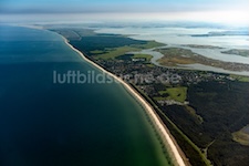 (1)top to bottom: 1-31/32 Zingst |
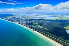 (2)left to right: 7/8-30/31 Zingst |
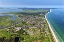 (3)bottom to top: 13/14-49 & beyond Zingst-Prerow |
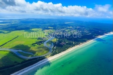 (4)left to right: 37/38-49 Prerow |
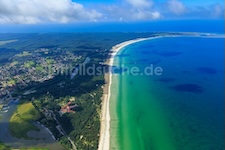 (5)bottom to top: 38/39-49 & beyond Prerow |
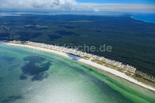 (6)west of 49 Prerow |
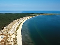 (6)west of 49 Prerow |
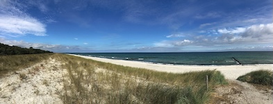 Zingst |
 Zingst |
 Zingst |
 Zingst |
 Zingst |
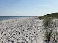 Zingst |
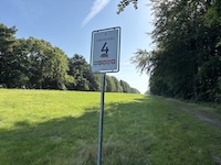 Zingst |
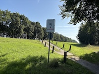 Zingst |
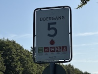 Zingst |
 Zingst |
 Zingst |
 Zingst |
 Zingst |
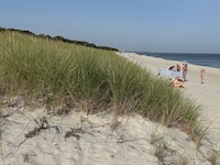 Zingst |
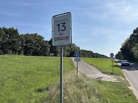 Zingst |
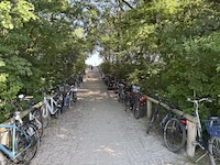 Zingst |
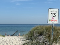 Zingst |
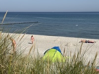 Zingst |
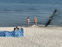 Zingst |
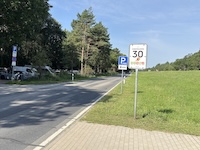 Zingst |
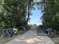 Zingst |
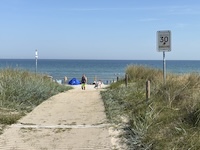 Zingst |
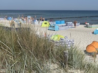 Zingst |
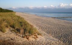 Zingst |
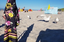 Prerow |
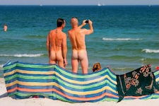 Prerow |
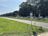 Prerow |
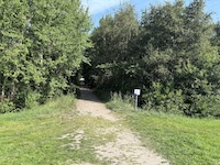 Prerow |
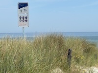 Prerow |
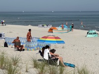 Prerow |
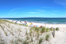 Prerow |
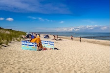 Prerow |
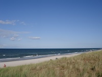 Prerow |
 Prerow |
 Prerow |
 Prerow |
 Prerow |
 Prerow |
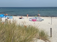 Prerow |
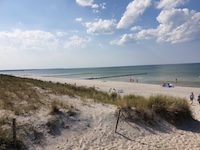 Prerow |
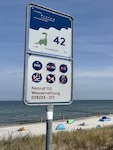 Prerow |
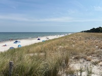 Prerow |
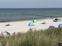 Prerow |
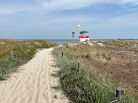 Prerow |
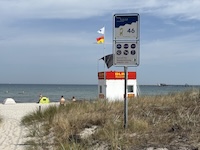 Prerow |
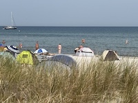 Prerow |
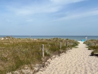 Prerow |
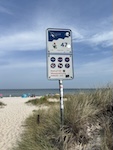 Prerow |
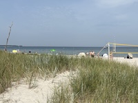 Prerow |
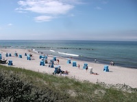 Prerow |
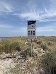 Prerow |
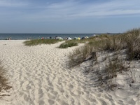 Prerow |
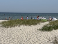 Prerow |
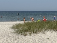 Prerow |
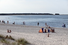 Prerow |
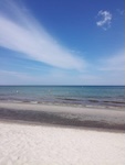 Prerow |
|
(1) top to bottom: 1-31/32 (2) left to right: 7/8-30/31 (3) bottom to top: 13/14-49 & beyond (4) left to right: 37/38-49 (5) bottom to top: 38/39-49 & beyond (6) west of 49 | |||
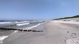
access 1
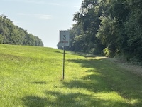
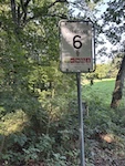
access 6 (old access # 2 visible on sign)
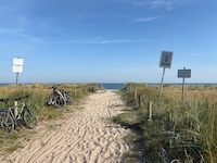
centered on access 12
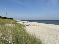
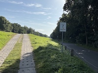
access 24
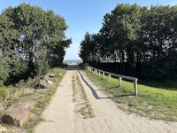
access 38
access 38
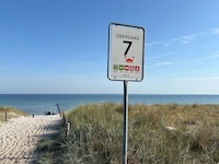
access 47 (old access # 32 visible on sign)
|
Invalid or out-of-date link? Please let us know. Reference the name and location of the beach so we can check the photo page for errors.
Can't view a Flickr photo because you aren't signed in? Click here for advice. Have a photo to suggest? Click here for guidelines. Top of Page [ ↑ ] |